We drove out to visit the house I lived in when I graduated from high school.
From there, we went out to Point Reyes National Seashore. I had been there once when I lived in California. I don’t think my family did anything that time except drive out there as a day trip.
This time we first walked down a little trail near the visitor center to a reconstructed native village of the Coast Miwok culture. There wasn’t much at the village except a couple of dwellings (made of redwood bark in a teepee shape and similar storage structures, but there were lots of acorn woodpeckers flying all around the area.
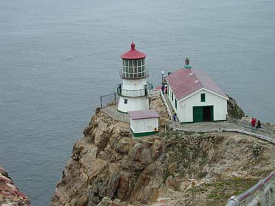
Next we drove out to Point Reyes proper. It was a good ways (20 miles of winding roads?) from the visitor center. The main idea was to see the lighthouse there:
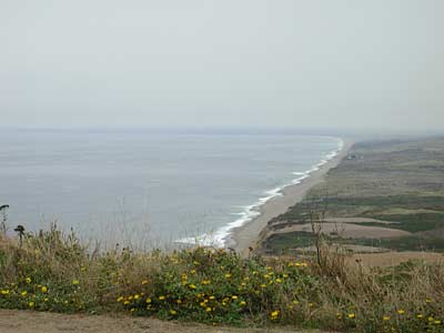
Of course, you’re entitled to a picture of the coast looking north from the parking lot for the lighthouse. If you look at the picture on the NPS web site linked above, you’ll be able to figure out just where I was when I took this picture.
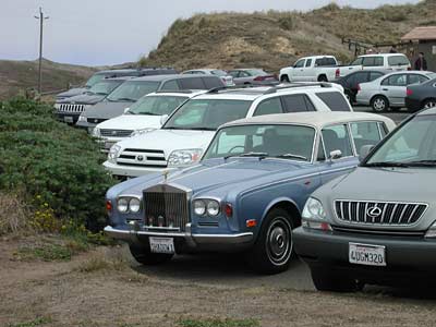
You have to walk a few hundred yards from the parking lot to see the lighthouse, even if you have a really nice car.
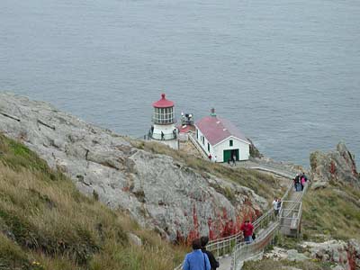
What I didn’t tell you yet is that there are 308 steps leading down to the lighthouse from the end of the road. Yes, we went all the way to the lighthouse and had a nice chat with the ranger on duty there. When we ran into her the next day at the visitor center, she was telling a colleague that earlier that morning she had handled some leaves that a tourist asked her to identify before realizing that they were poison oak.
Most often, lighthouses are built as high above sea level as practical (with towers, of course, silly) so they can be seen as far away over the earth’s curvature as possible. Point Reyes has a high fog so much of the time that the light was built low to be visible below the fog.
There are places to rest on the way back from the lighthouse. The lighthouse keepers had to make this trip several times a day, and this is one of the windiest places on the coast.
Hank and Ernie had recommended that we stay at the Olema Inn, very close to the visitor center. It’s pretty small, only six guest rooms, but has one of the best restaurants in the San Francisco area (and, dudes, that’s saying a lot!)
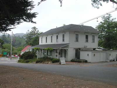
It’s probably not fair to say that you can see a quarter of downtown Olema in that picture. More like ten percent of it. Off to the left at the intersection is a nice little boutique called The Epicenter. Olema was the epicenter of the 1906 San Francisco earthquake. Tomales Point, at the northern end of the national seashore, is the northernmost land point of the tectonic plate to the west of the San Andreas fault.
Just looking at those steps makes my legs hurt. I tripped merrily DOWN them not realizing how steep it was going back UP. But Point Reyes is gorgeous.
This all sounds like fun.